
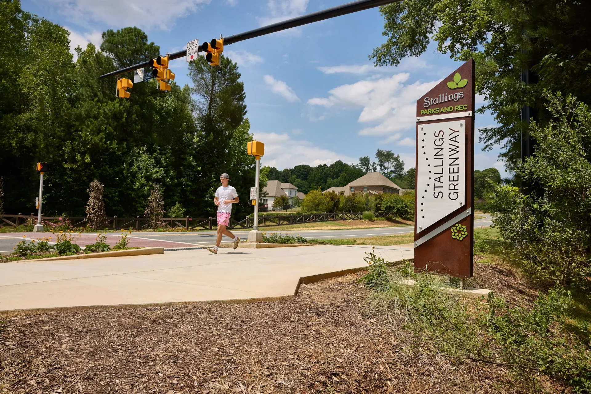


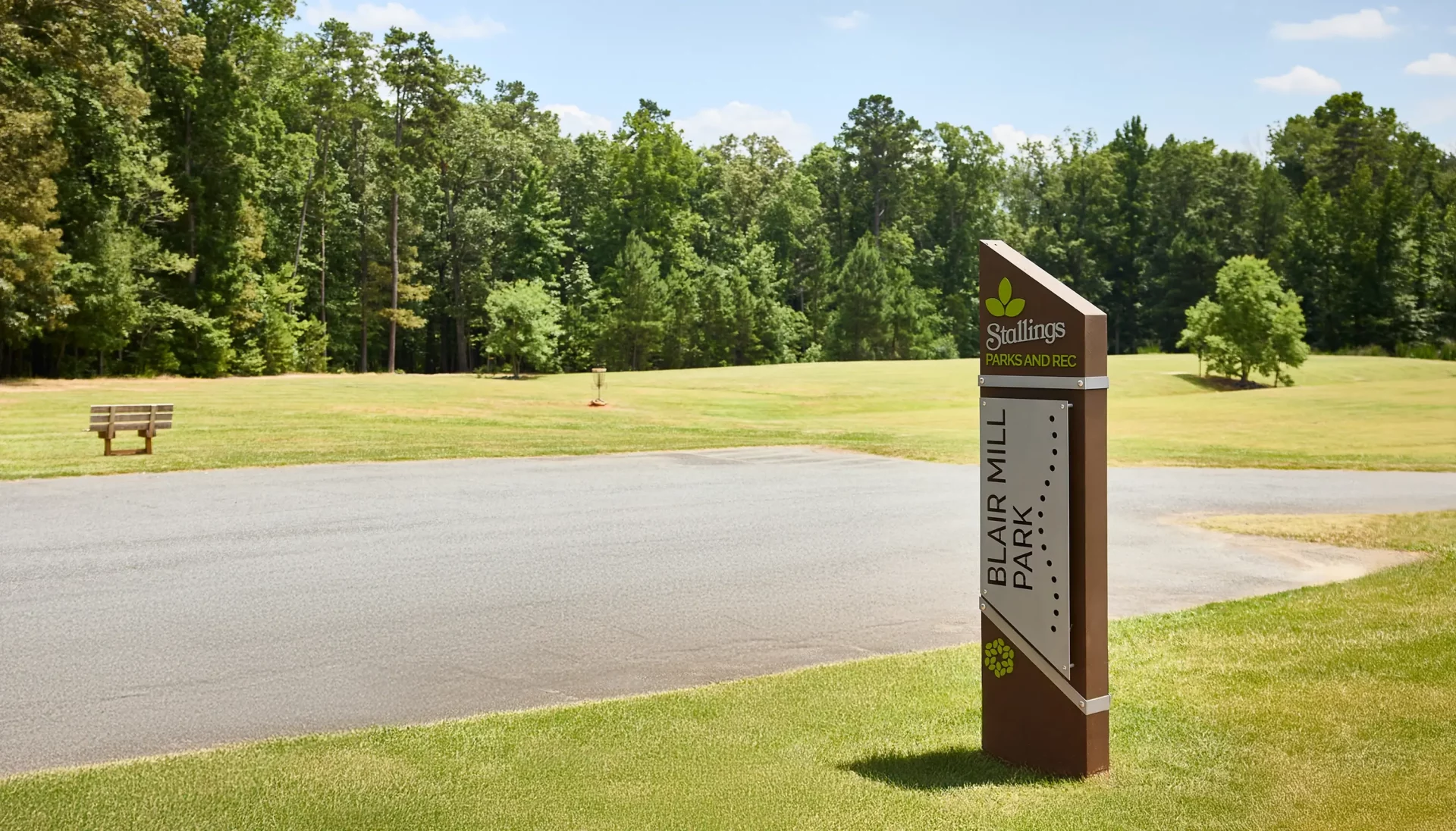
Since DbD had previously completed a series of land use civic master plans for Stallings, the interconnected greenway network is presented to ultimately weave between existing and future development, which is reflected in the Town’s new UDO.
A Green Infrastructure Guide
The Connect Stallings Recreation and
Greenway Master Plan serves as a guiding
document for the preservation of open space,
development of parks and recreation facilities,
and the creation of an extensive multi-use
path and greenway network throughout the
Town.



Public Engagement
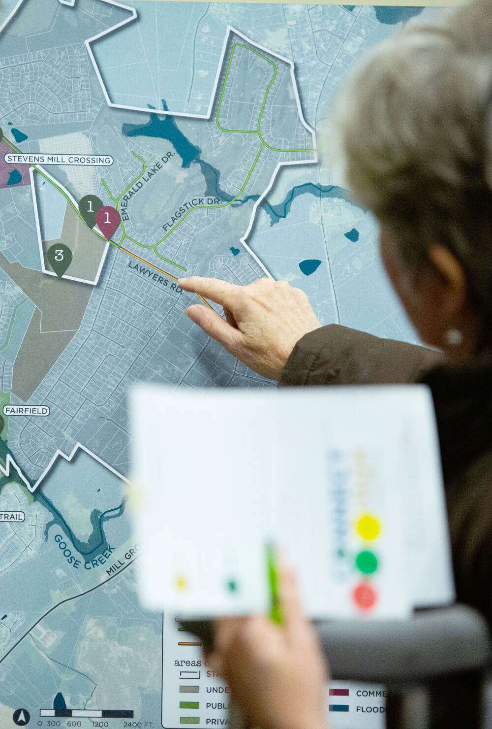
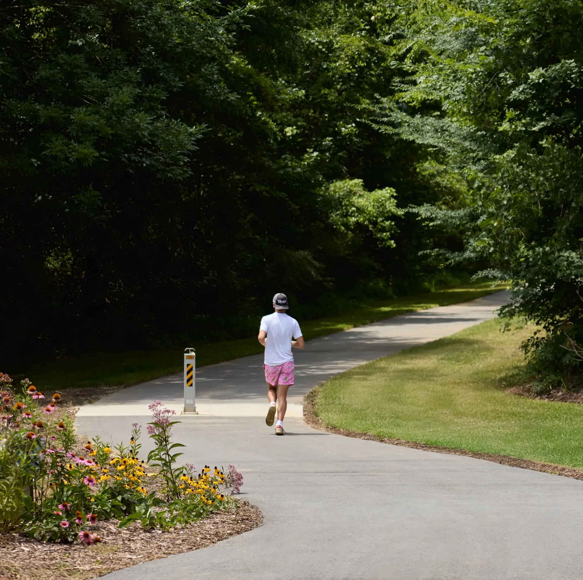
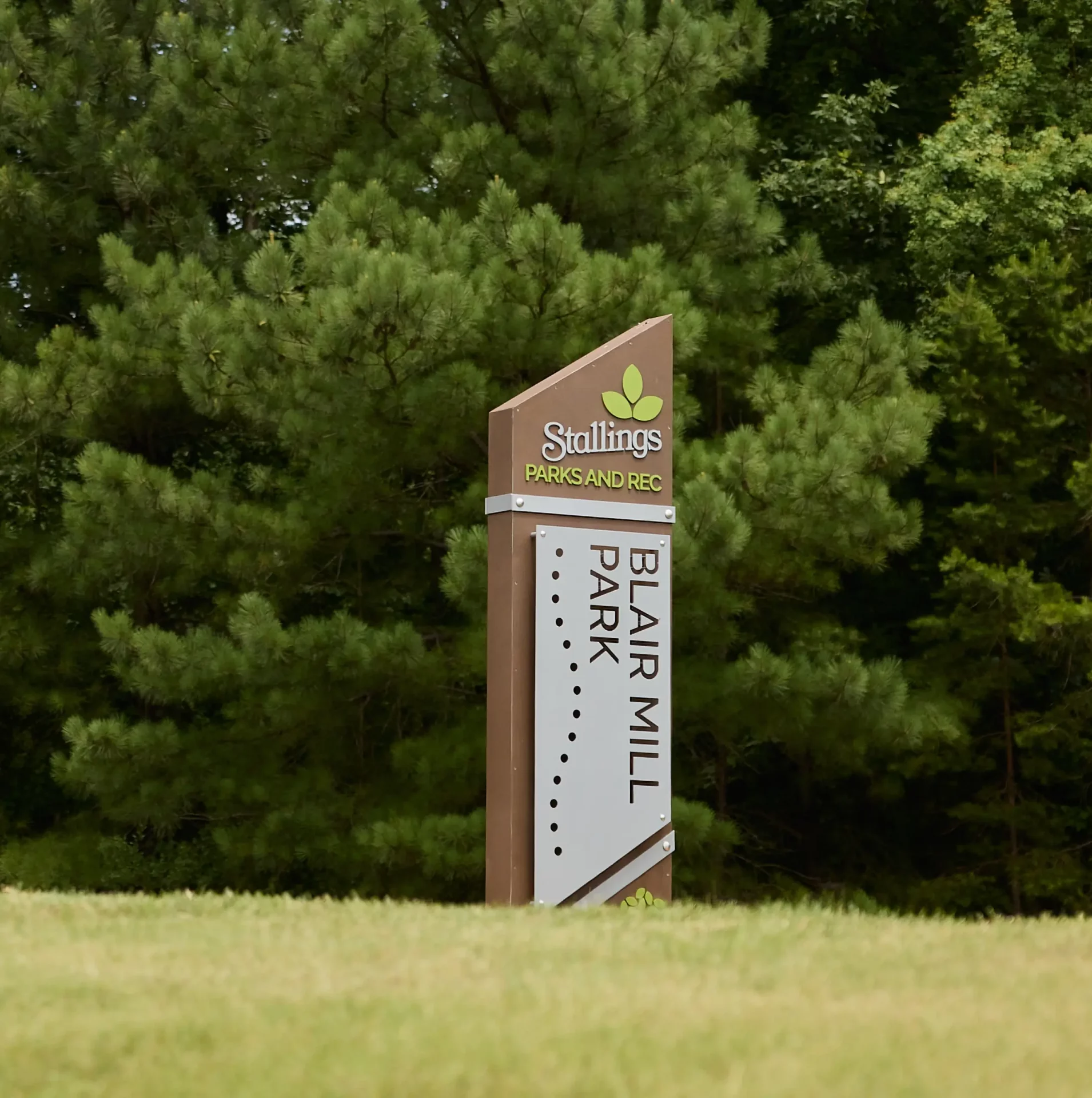
After an extensive public engagement program, the final plan resulted in a strategic focus on creating a series of passive parks connected by an extensive greenway network.
Destination by Design partnered with the Town of Stallings to develop the Connect Stallings Recreation and Greenway Master Plan, a guiding document for open space preservation, park development, and an extensive multi-use path network throughout the town. The plan builds on DbD’s earlier land use civic master plans for Stallings, weaving the greenway network between existing and future development in a way reflected directly in the town’s new Unified Development Ordinance.
In North Carolina, greenway planning and recreation master planning work especially well together when a town needs both internal connectivity and a link to a larger regional trail system. Stallings’ plan reflects that pairing, connecting the town’s own parks and pathways to the Carolina Thread Trail, which traverses Stallings in two locations, tying the local greenway network into a much broader regional trail system.
A greenway network works best when it’s planned as green infrastructure from the start, not added after development is already in place. Stallings’ master plan reflects that philosophy, using an extensive public engagement program to arrive at a strategic focus on passive parks connected by greenways, ensuring the town’s future growth and its recreational network develop together rather than in conflict.
Greenways and trails planning is the process of designing a network of parks, paths, and open spaces that connects a community internally while linking it to regional trail systems. For Stallings, that meant greenway planning and engineering paired with park and trail signage, all guided by public engagement to create a master plan that preserves open space while expanding recreational access throughout the town.
Stallings sits in Union County in the Charlotte metro region of North Carolina, positioned along two segments of the regional Carolina Thread Trail. That location made greenway connectivity a priority for the town, giving Stallings a direct link to a broader network of trails spanning the greater Charlotte area.