
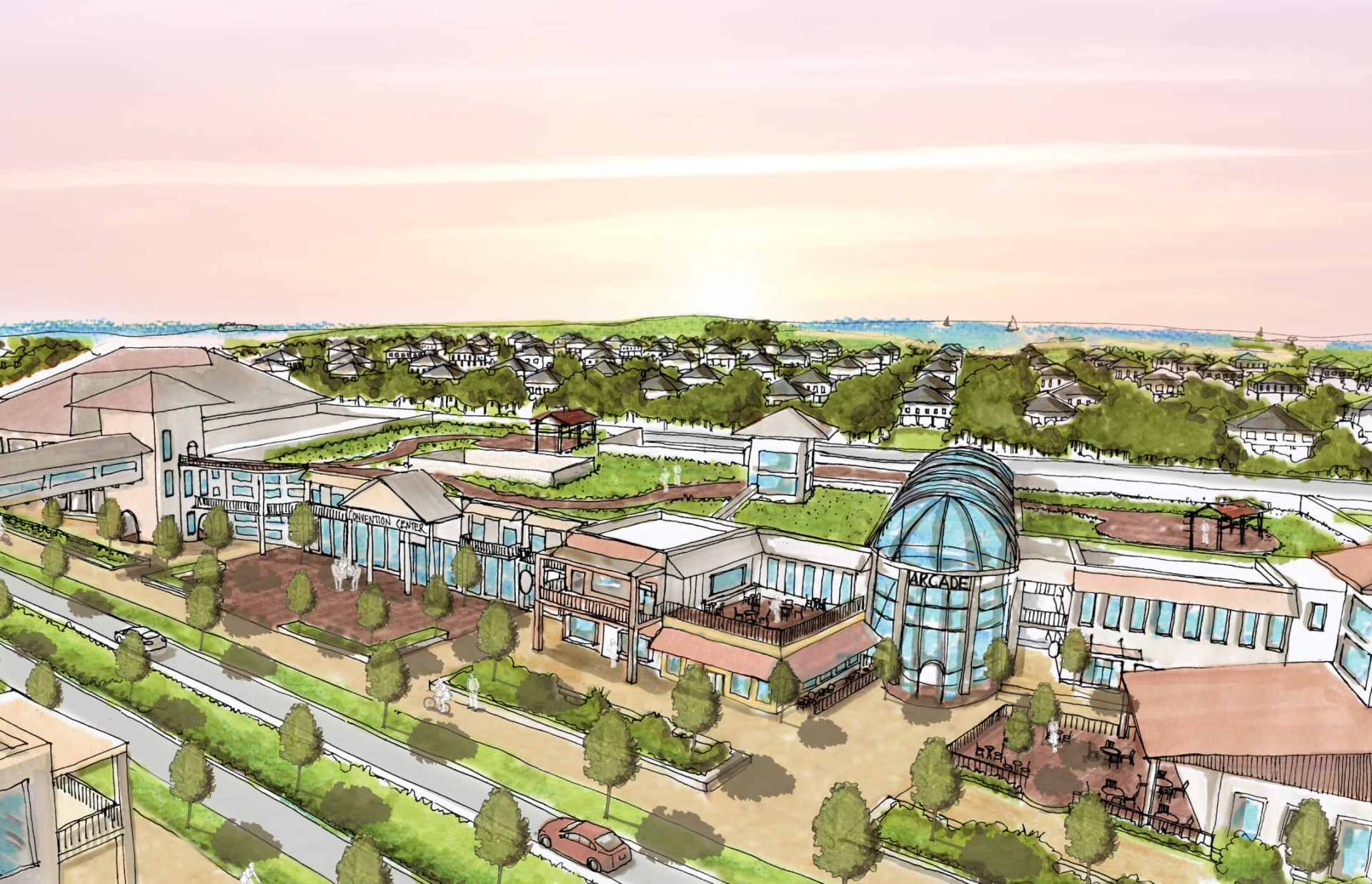


The Imagine Curritcuk plan provides a bold, long-term vision to guide the county’s growth while protecting its vital natural resources.
Public Engagement Campaign
Our plan website served as the hub for public engagement, and included an interactive map of the county inviting residents to identify their ideas, insights, and barriers.
An Imagine Currituck promotional video provided dramatic aerial views of the County, highlighted the key planning themes and called for citizens to engage in the plan development process.
Plan Overview
Using data gathered from public engagement efforts, the plan organizes broad, county-wide goals according to land use, economic development, infrastructure and county services, transportation, environment, and parks and recreation. A thorough implementation matrix presents policy recommendations in a simple and engaging visual format.



Public
Engagement

Our team led a massive public engagement effort that included over 1,750 survey responses, 15 focus groups, and seven public workshops.
Destination by Design created the Imagine Currituck 2040 Vision Plan for Currituck County, providing a bold, long-term land use strategy to balance unprecedented growth pressure with conservation of the county’s coastal environment along North Carolina’s Outer Banks. The plan organizes county-wide goals around land use, economic development, infrastructure, transportation, environment, and parks and recreation, backed by a detailed implementation matrix presenting policy recommendations in a clear, visual format.
In North Carolina, land use planning and tourism planning often intersect in coastal counties where growth pressure and environmental protection have to be weighed side by side. Imagine Currituck reflects that pairing, using an interactive plan website and a promotional video featuring dramatic aerial views of the county to engage residents in shaping how the region grows while protecting the natural resources that draw visitors to the Outer Banks.
Rapid growth along a coastline can quickly outpace a community’s infrastructure and natural resources without a clear long-term strategy. Imagine Currituck was built to get ahead of that challenge, drawing on one of DbD’s most extensive public engagement efforts, over 1,750 survey responses, 15 focus groups, and seven public workshops, to ensure the county’s 2040 vision reflected genuine resident priorities for managing development.
Land use planning is the process of developing a comprehensive strategy that guides how a community grows, balancing new development with the protection of natural resources and quality of life. For Currituck County, that meant comprehensive land use planning paired with an extensive public engagement campaign, resulting in a countywide vision plan covering everything from transportation and infrastructure to parks and environmental conservation.
Currituck County sits along North Carolina’s famed Outer Banks, a coastal region experiencing significant growth and development pressure. That coastal setting made balancing expansion with environmental conservation the central challenge of the Imagine Currituck plan, protecting the county’s vital natural resources as it prepares for continued growth through 2040.