
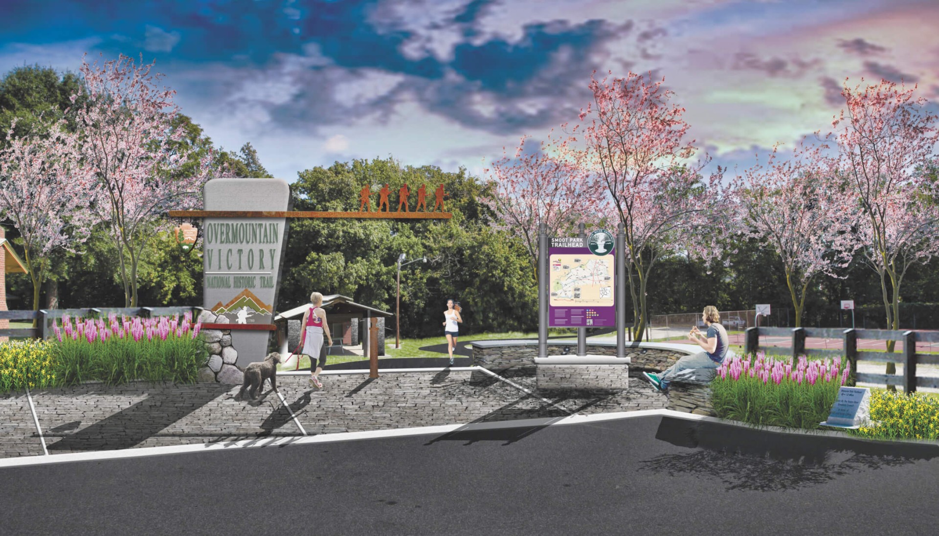


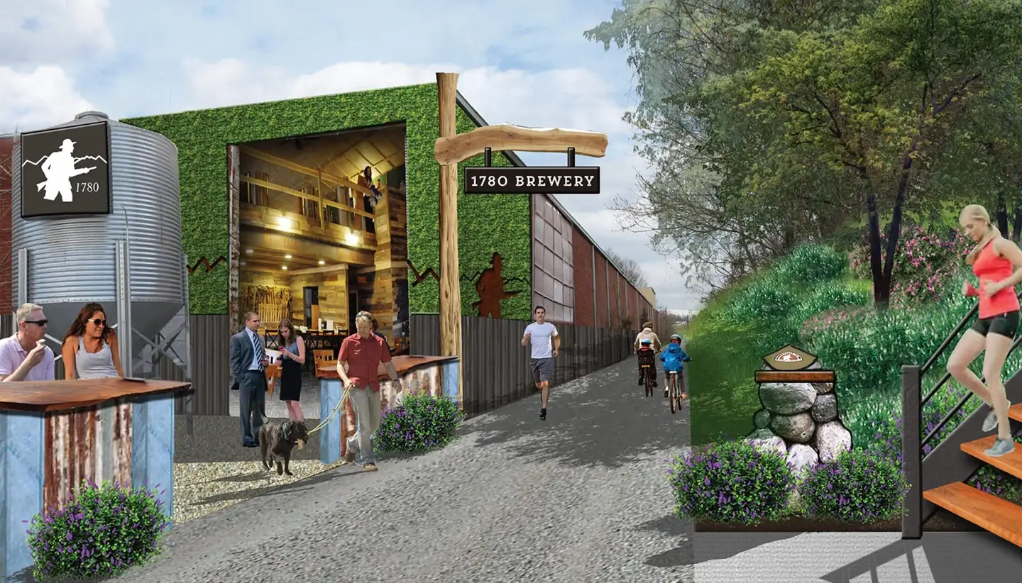
DbD partnered with government agencies and private landowners to develop a comprehensive plan for the Overmountain Victory National Historic Trail. Our approach honors the trail’s historical significance while embracing a forward-thinking vision for its future.
Public Engagement Video
Each section plan includes a custom-produced outreach video for landowners, explaining the historical significance of the trail and the role that they can play in preserving this piece of American history.
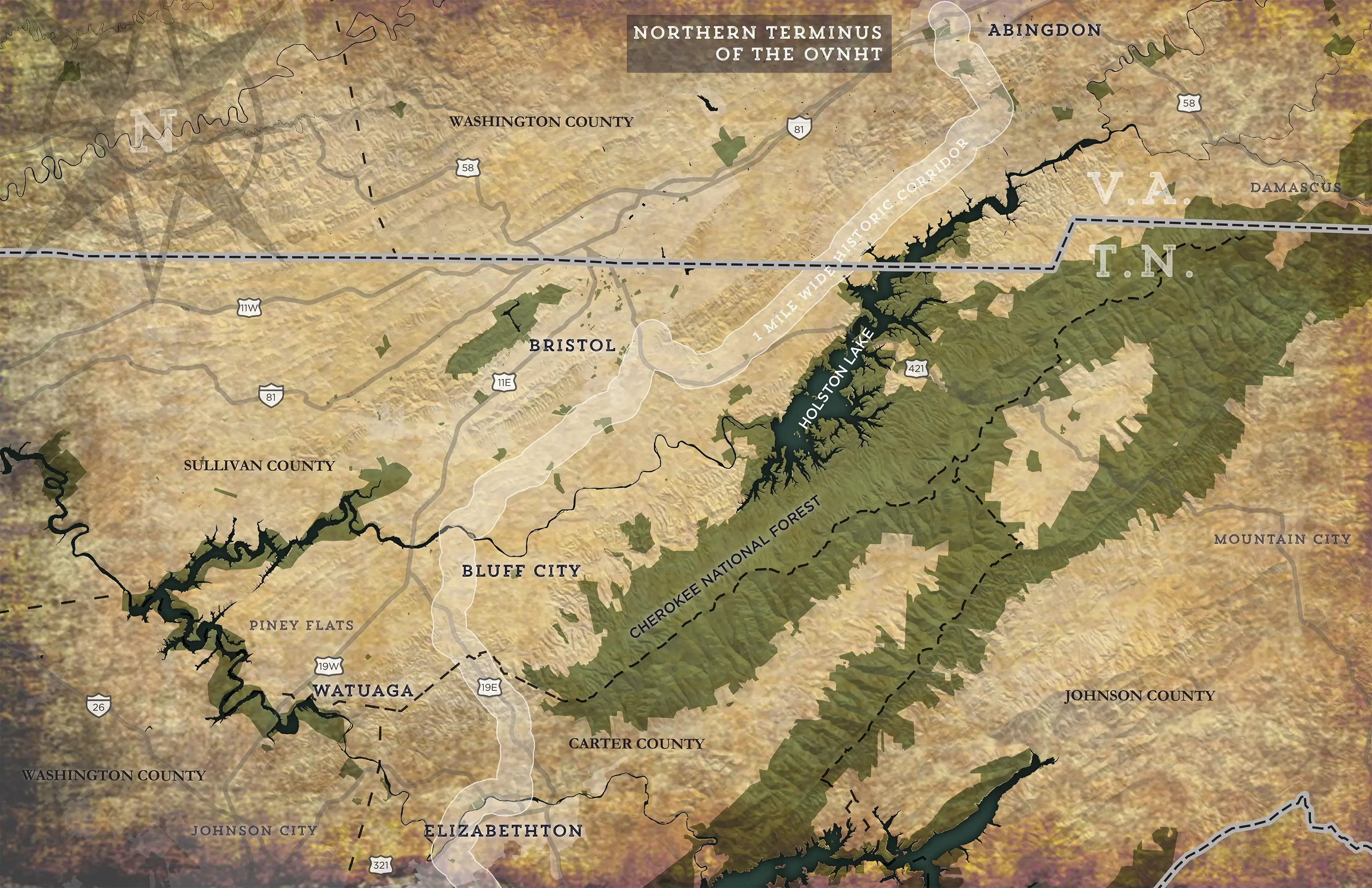
Abingdon to Elizabethton Section Plan
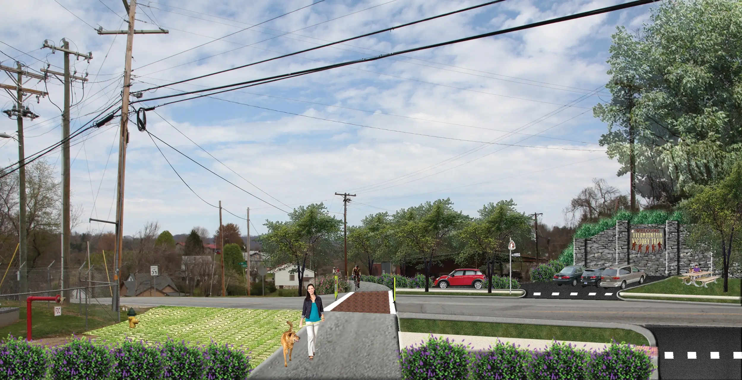
This segment of the OVNHT begins at its northern terminus in Abingdon, VA and ends at the future site of the Gap Creek Park in Elizabethton, TN. The 93-mile stretch of trail will connect multiple jurisdictions from Virginia to Tennessee, offering a rare level of cross-state trail connectivity.
Lake James to Morganton Section Plan
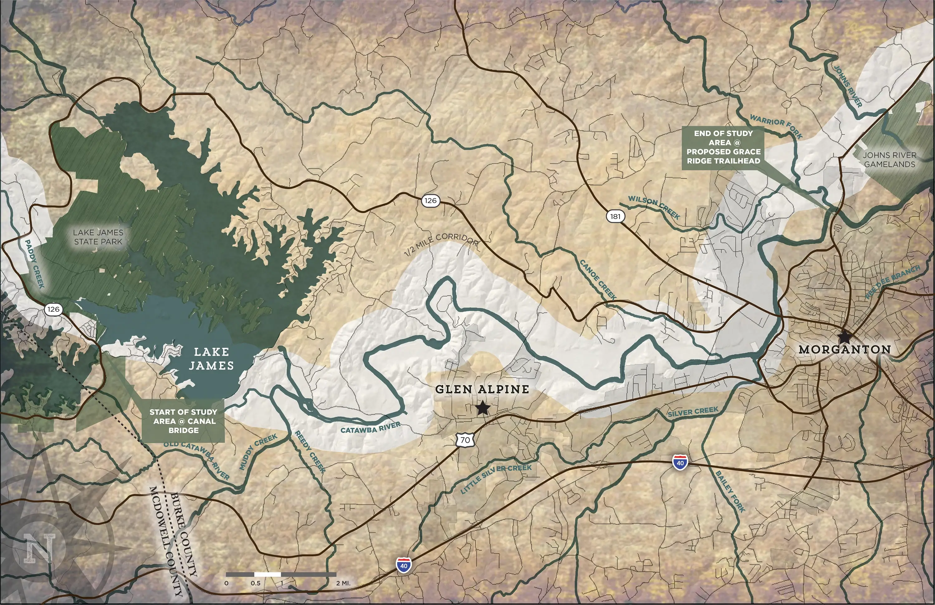
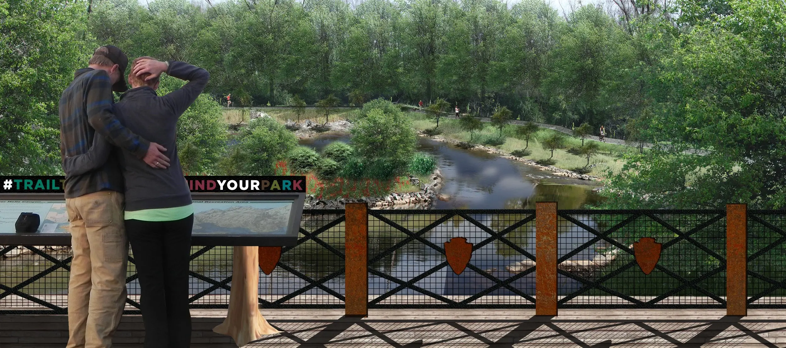
The Lake James to Morganton section of the OVNHT is notable in the seamless connectivity it provides to a region ideally suited for increased trail connectivity. Both Burke County and the City of Morganton are blessed with an array of public parks, greenways, and river access points that would benefit from the increased connectivity that the OVNHT would bring to the area.
Lenoir to Morganton Section Plan
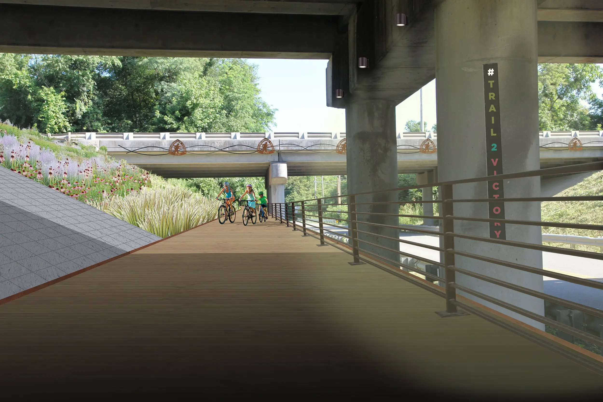
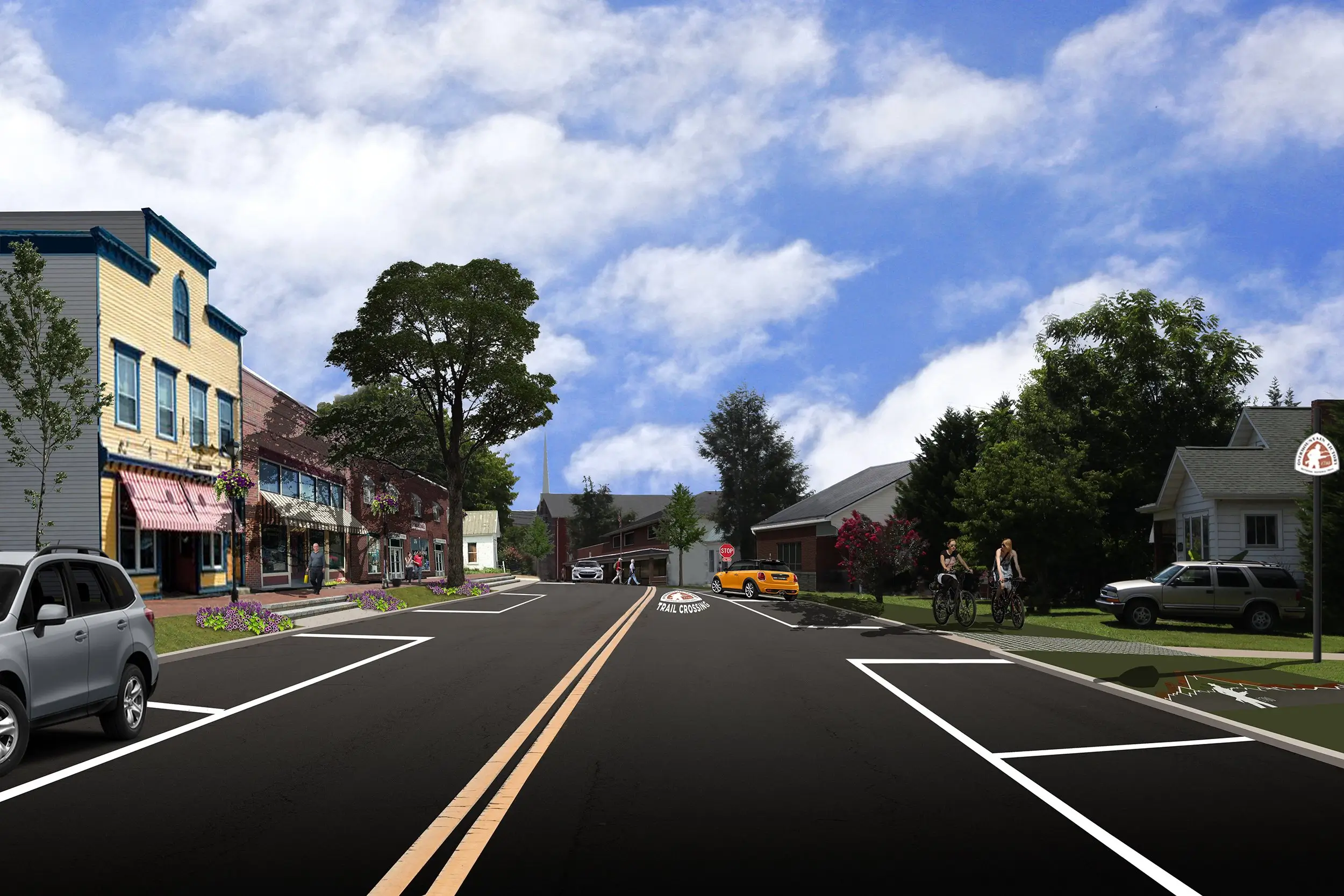
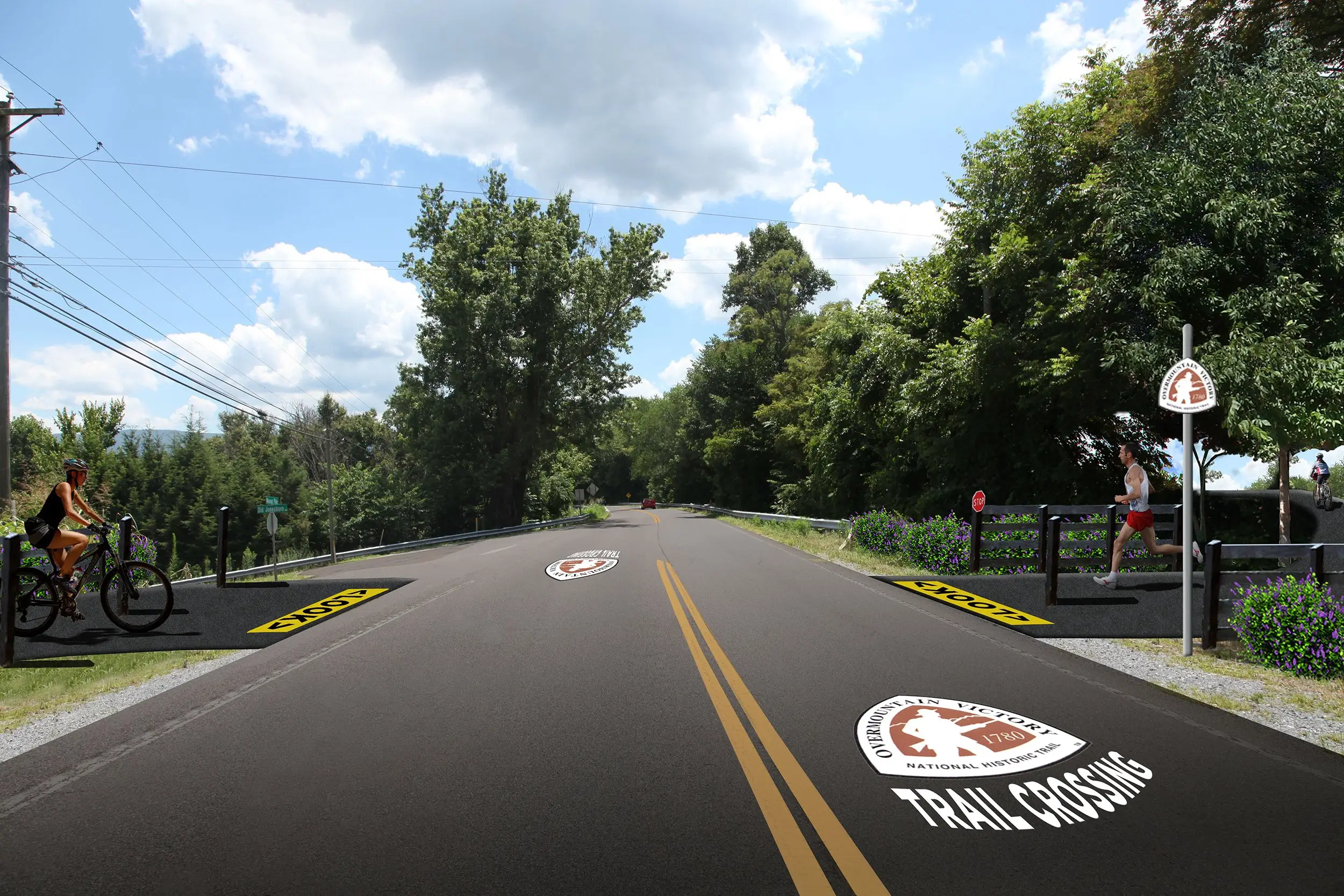
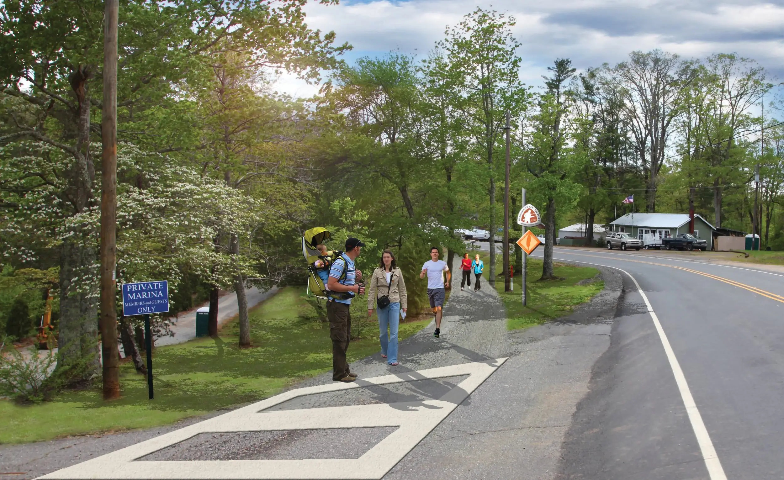
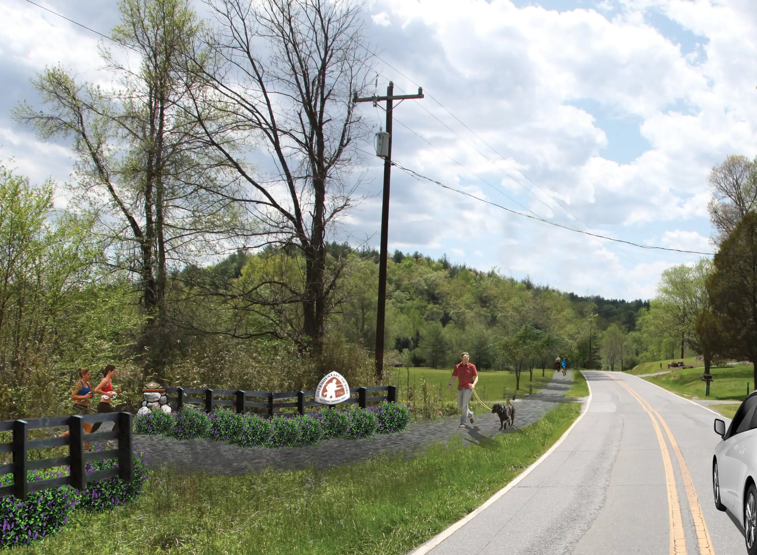
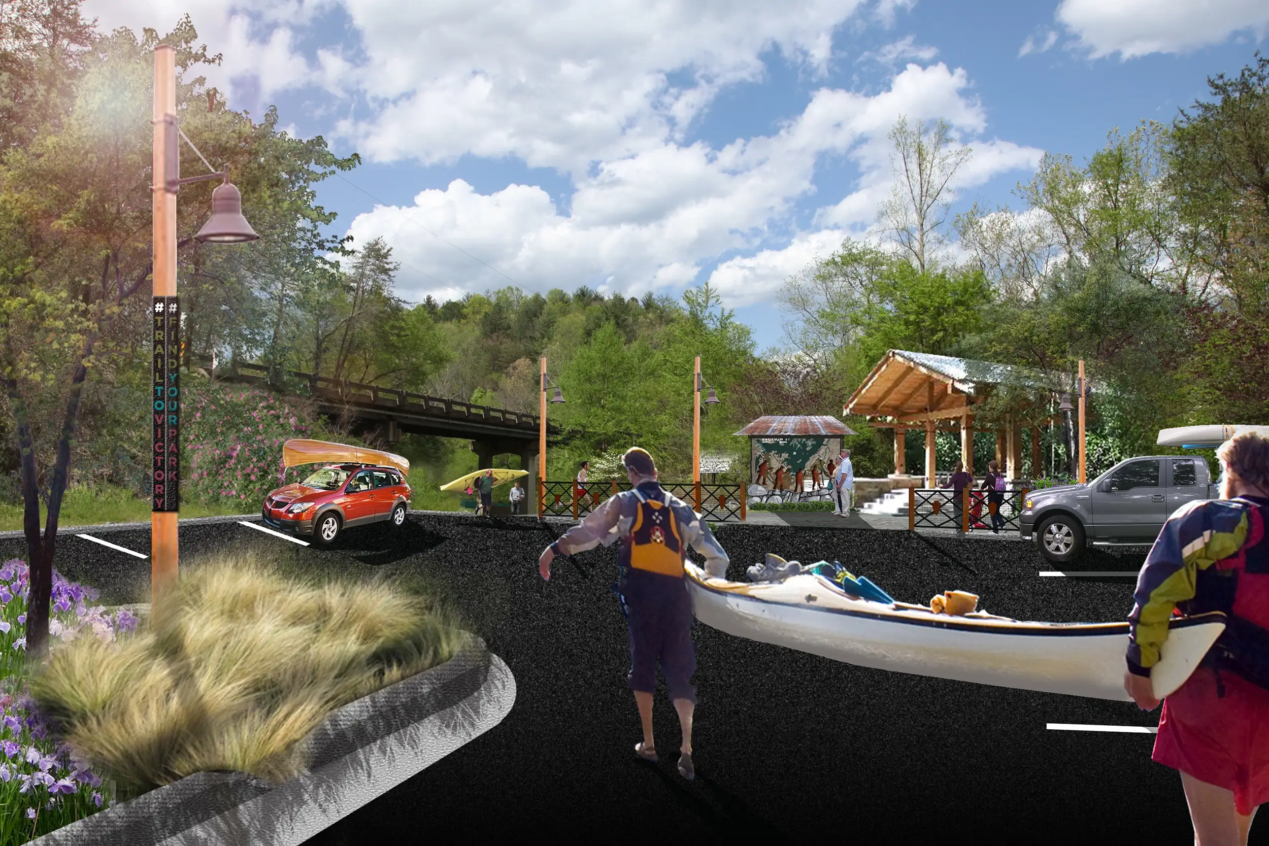
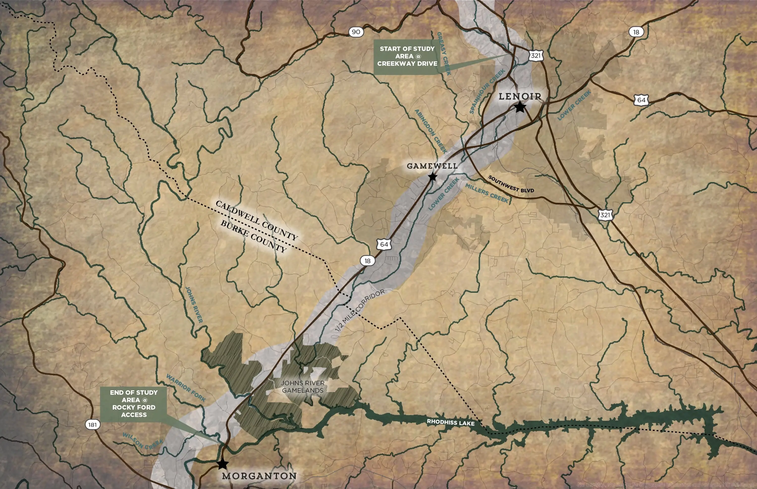
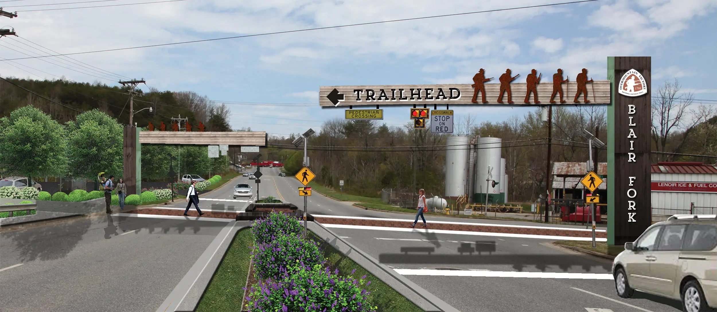
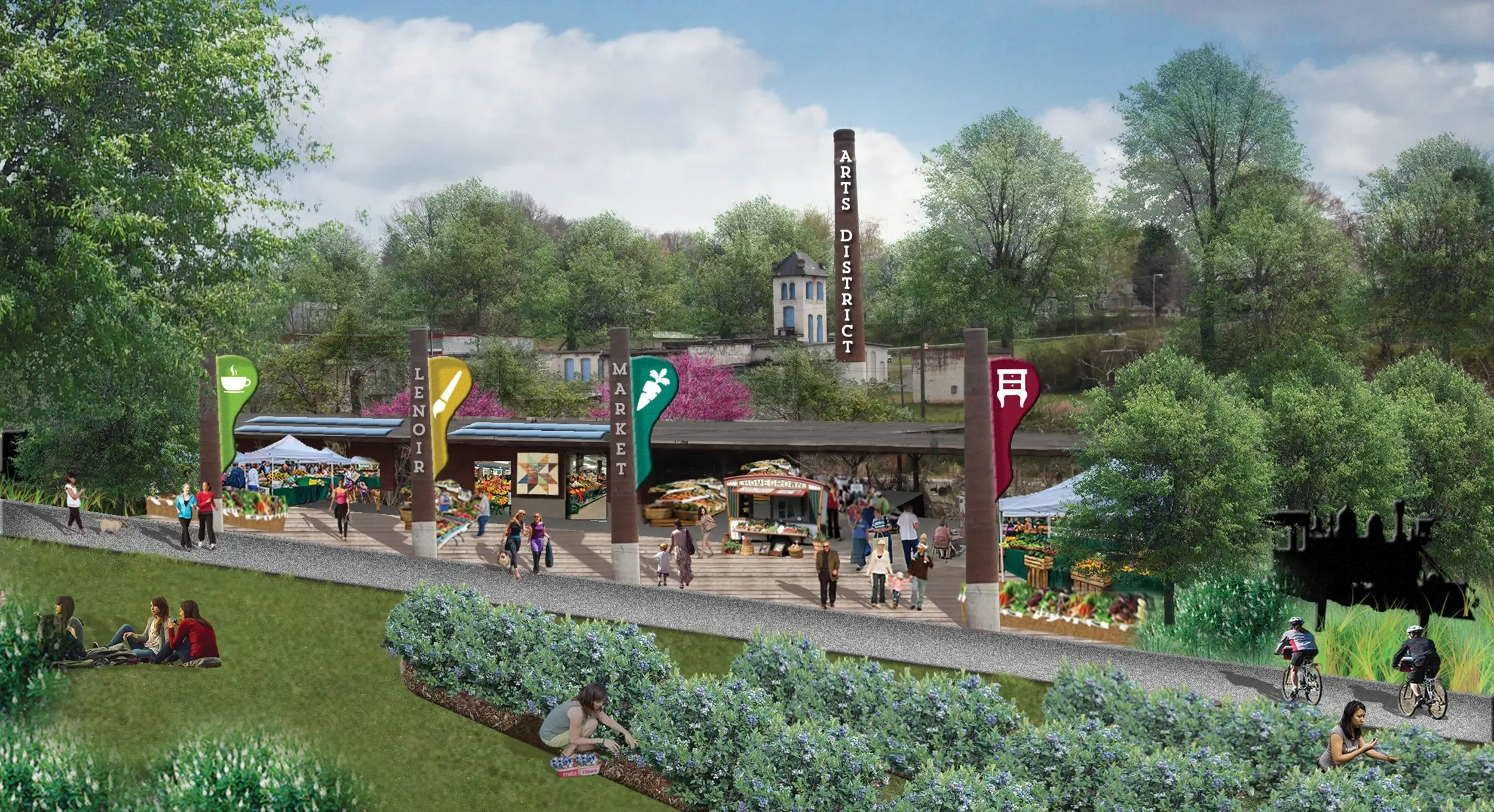
This planned section of the OVNHT traverses 20 miles, connecting two major population centers in the area. The trail will link regional points of interest like Fort Crider, the Lenoir Greenway, Unity Park, and Johns River Game Lands. The planned trail will also complement existing community plans and put wind in the sails of ongoing community revitalization efforts, especially in and around downtown Lenoir, NC.

Elkin to W.
Kerr Scott Reservoir Section Plan
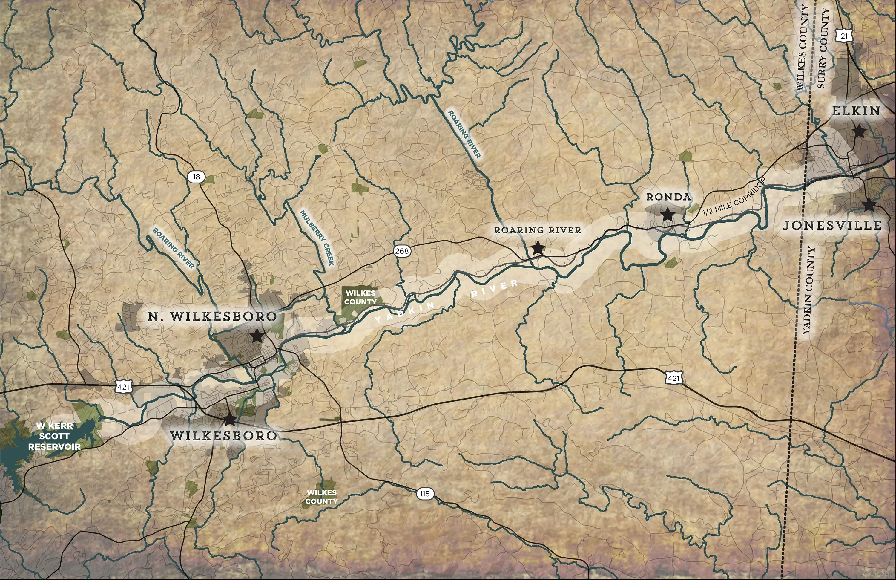
Elkin offers an almost unmatched level of convenience for the modern-day outdoor enthusiast. The town is just 15 minutes from Stone Mountain State Park and about 20 minutes from the entrance to the Blue Ridge Parkway. The town is also overflowing with trail systems, including the Mountains-to-Sea Trail, Yadkin River Blueway, and an array of local trails.

Chesnee to Kings Mountain Section Plan
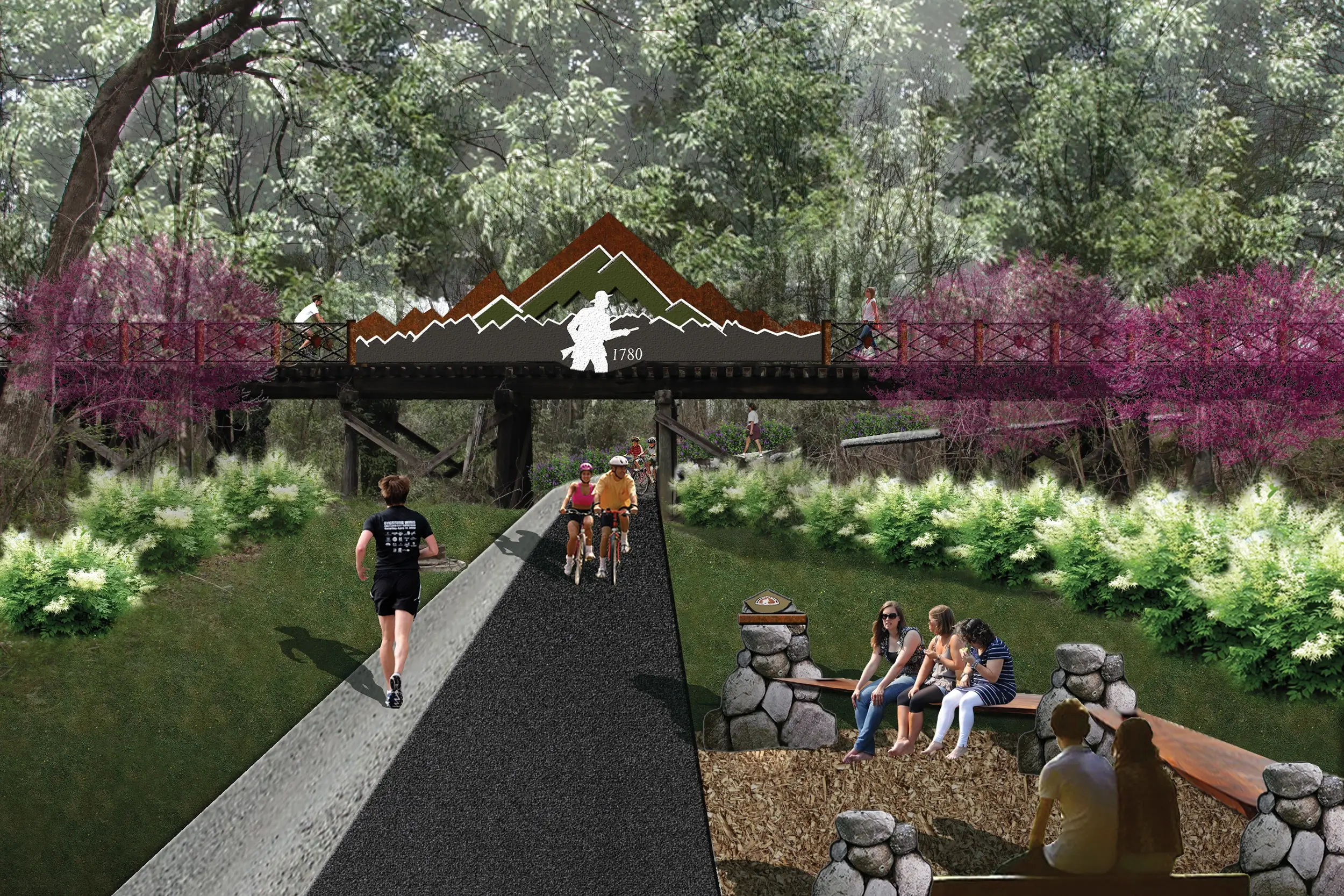
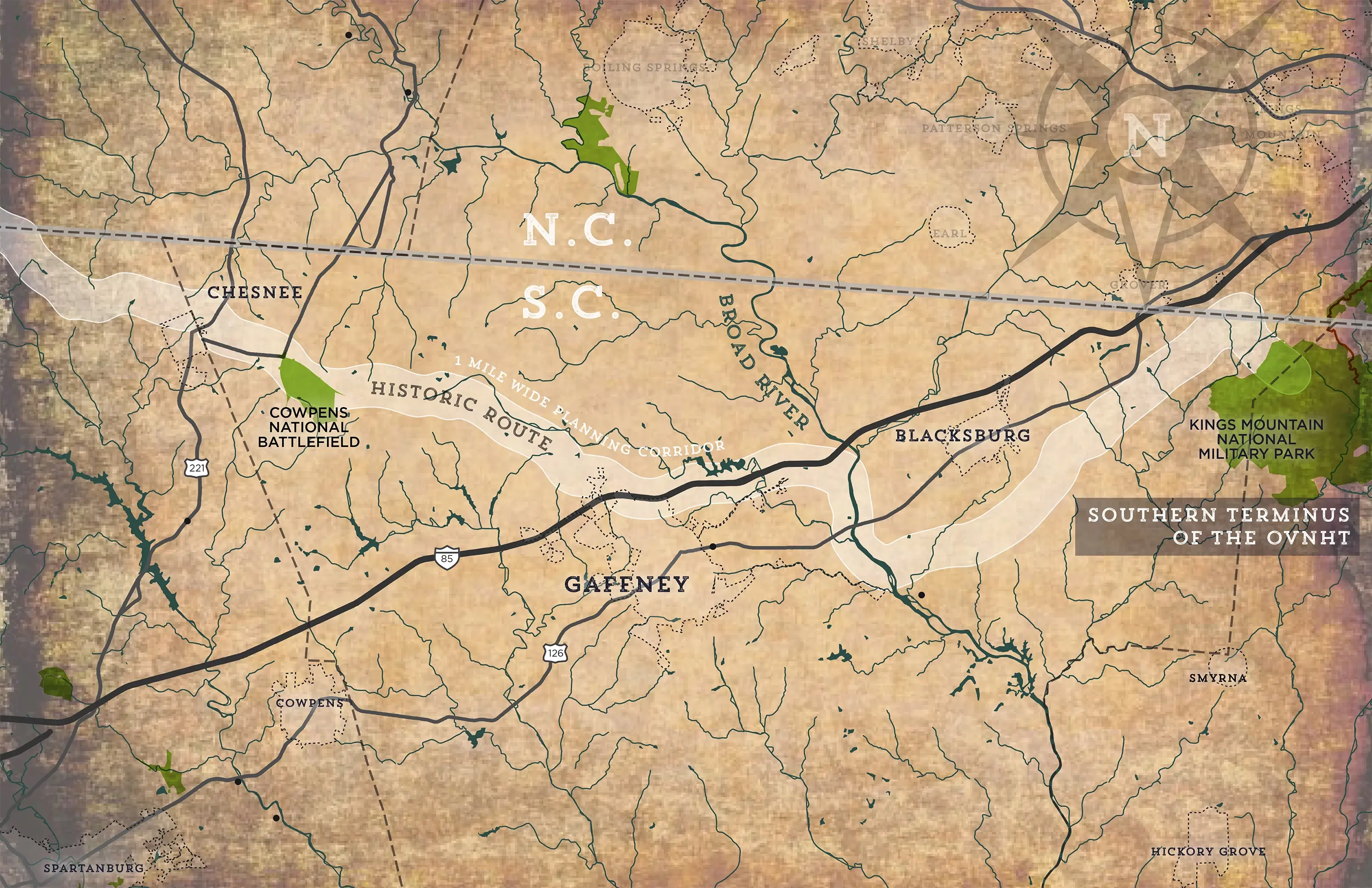
This 74-mile planned stretch of the OVNHT will help draw history buffs to the Kings Mountain National Military Park, the site of the famed battle between the Patriot militiamen and British-led forces. The trail will benefit from its planned connections to the downtowns of the City of Chesnee, City of Gaffney, and Town of Blacksburg.
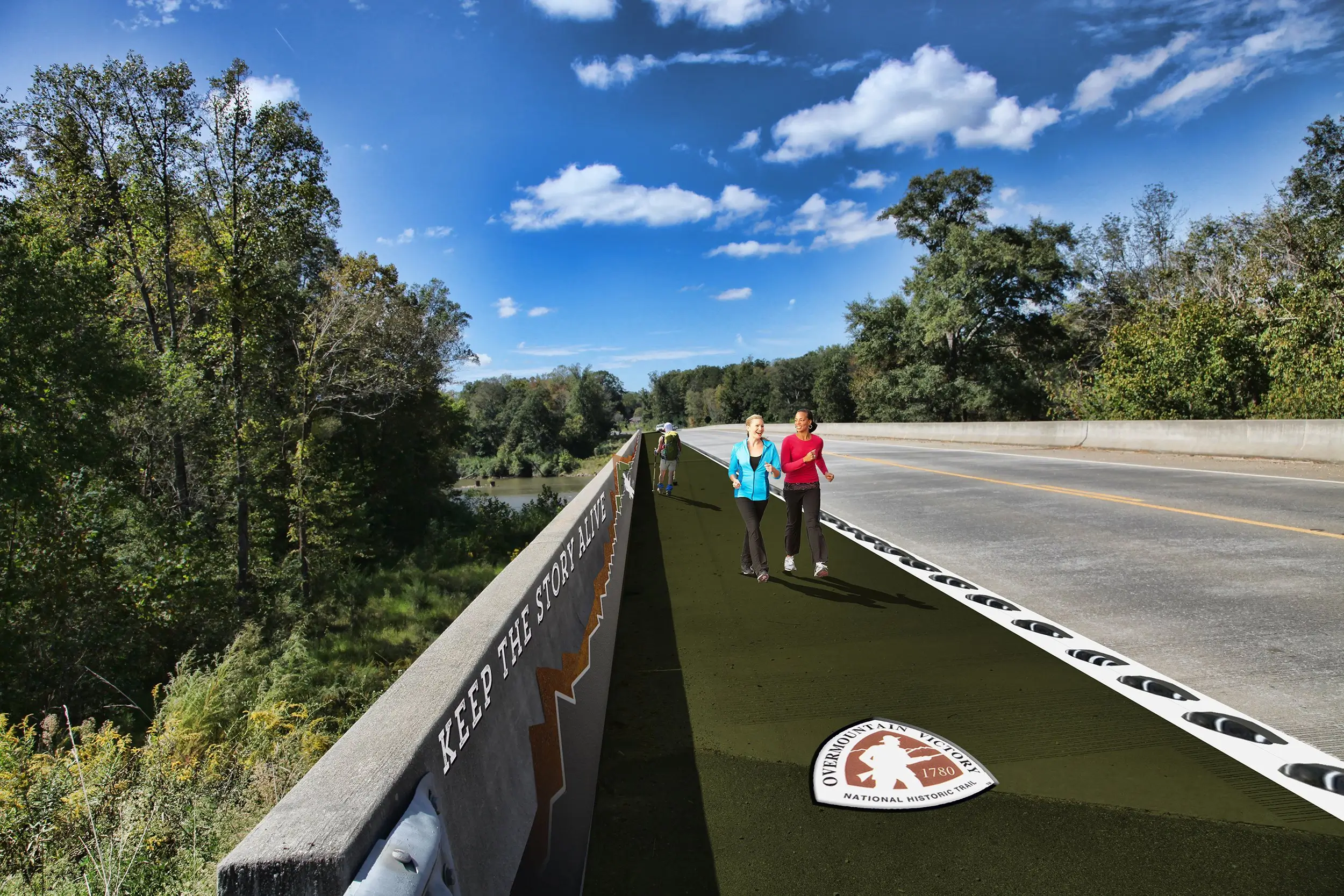
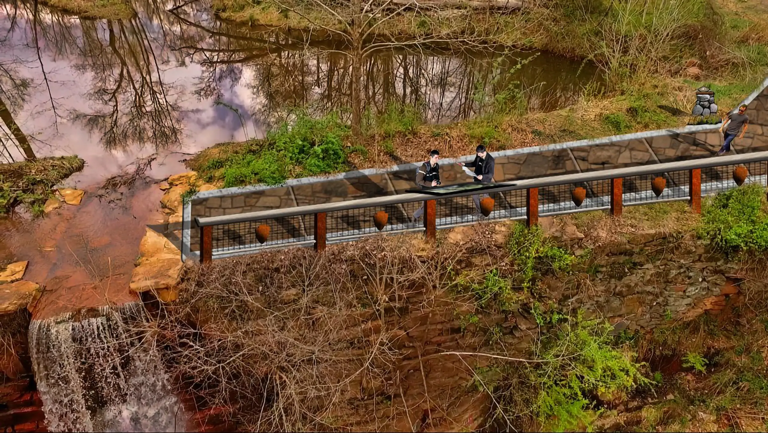
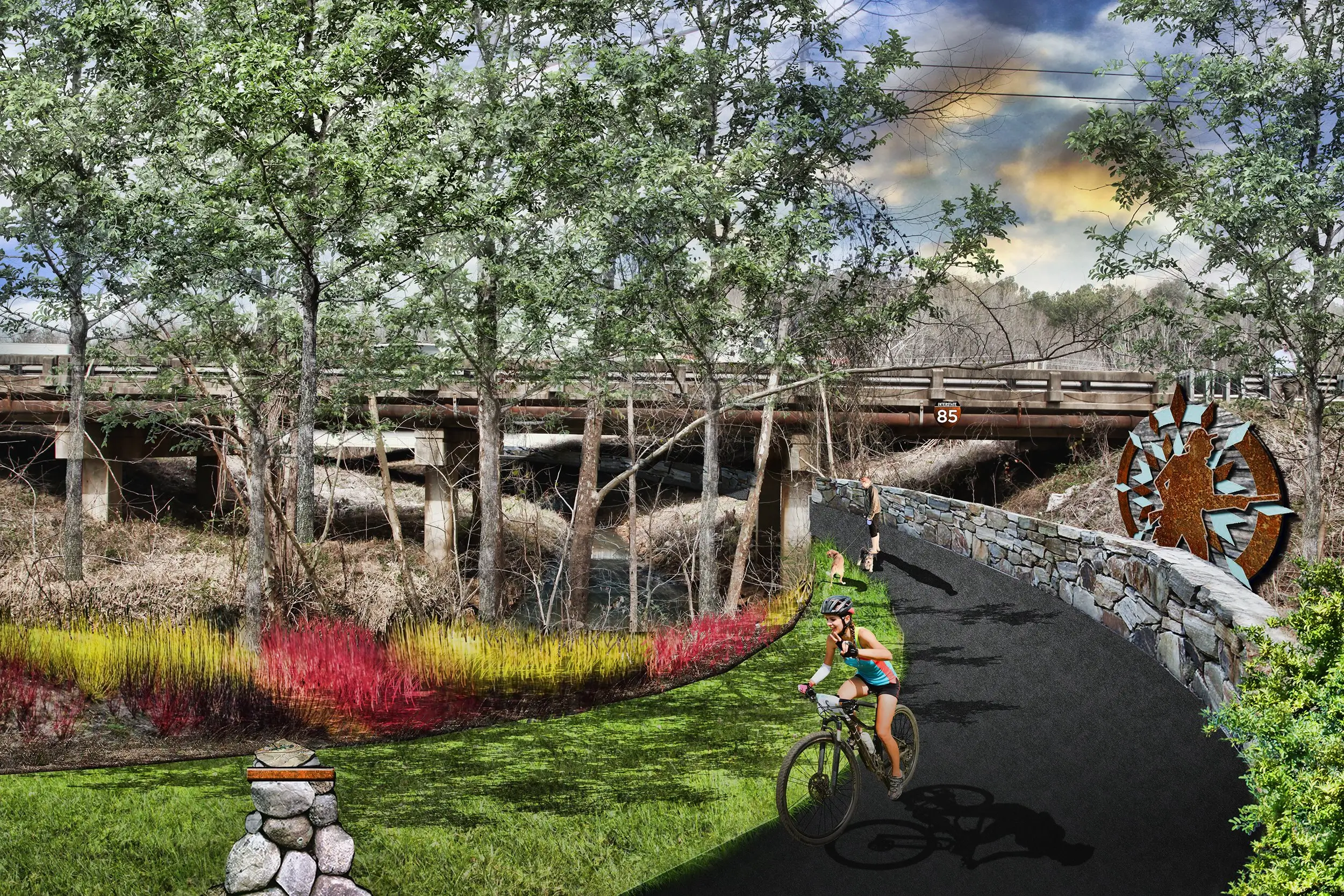
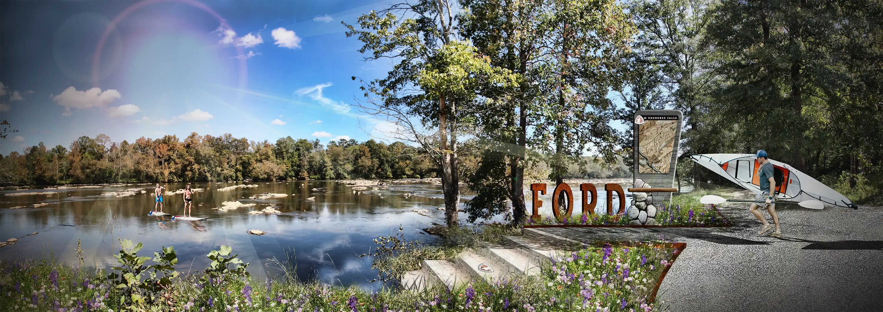
Landowner
Outreach
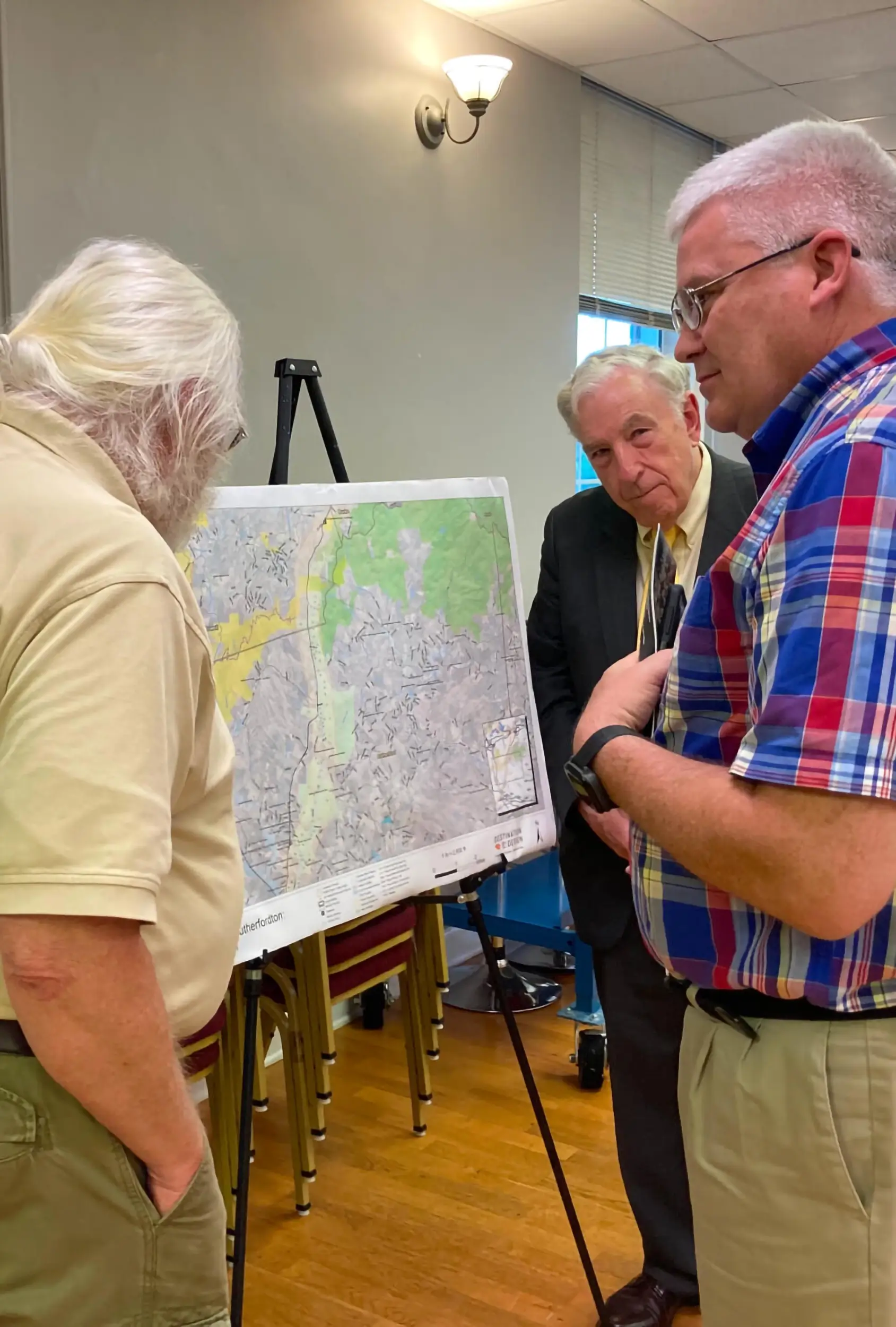
A large portion of the planning process involved reaching out to landowners in the path of the OVNHT to brief them on the trail’s planned route. Landowners were engaged in a genuine, good faith manner, through public meetings, Q&A sessions, informational letters, and custom-produced videos–a process that has seen positive results.
Destination by Design led a multi-jurisdictional master planning process for the National Park Service to establish the Overmountain Victory National Historic Trail as a multi-use route stretching from Abingdon, Virginia, to Kings Mountain State Park in South Carolina. The project spans five distinct section plans across Virginia, Tennessee, North Carolina, and South Carolina, each shaped through landowner outreach, public engagement, and custom-produced videos explaining the trail’s historical significance.
Across Virginia, Tennessee, North Carolina, and South Carolina, greenway and trail planning at this scale requires balancing historical preservation with modern recreational connectivity. The Overmountain Victory Trail reflects that balance, with section plans like Abingdon to Elizabethton adding 93 miles of cross-state trail connectivity, and the Lenoir to Morganton segment linking regional points of interest like Fort Crider and the Lenoir Greenway while supporting downtown revitalization efforts already underway.
A National Historic Trail has to serve two audiences at once: history buffs drawn to sites like Kings Mountain National Military Park, and everyday trail users looking for recreational connectivity. The OVNHT’s planning process met both needs, engaging private landowners along the trail’s path in a genuine, good-faith process through public meetings, Q&A sessions, and informational letters, ensuring the trail’s route respected both property owners and the land’s historical significance.
Greenways and trails planning is the process of designing multi-use trail corridors that connect communities and regional destinations while navigating public and private land ownership. For the Overmountain Victory Trail, that meant regional trail planning and design across five separate section plans, each requiring dedicated landowner outreach and public engagement to move a Revolutionary War-era route toward becoming a fully connected National Historic Trail.
The Overmountain Victory National Historic Trail runs through Virginia, Tennessee, North Carolina, and South Carolina, connecting Abingdon, VA, to Kings Mountain State Park, SC. Its route passes through towns like Elkin, NC, just minutes from Stone Mountain State Park and the Blue Ridge Parkway, giving the trail a rare level of cross-state connectivity through some of the region’s richest outdoor recreation terrain.